


Reco Nr 1

Lamartiniere
User GUIDE

Length
9.1 km

Max alt
181 m

Uphill gradient
244 m
Km-Effort
12.7 km

Min alt
44 m

Downhill gradient
340 m
Boucle
No
Creation date :
2022-10-18 10:58:19.018
Updated on :
2022-10-18 13:02:34.394
2h03
Difficulty : Medium

FREE GPS app for hiking
 SityTrail
IGN / Geographical institutes
SityTrail Plus
The world is yours!
About
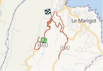
Trail Walking of 9.1 km to be discovered at Martinique, Unknown, Le Marigot. This trail is proposed by Lamartiniere.
Positioning
Country:
France
Region :
Martinique
Department/Province :
Unknown
Municipality :
Le Marigot
Location:
Unknown
Start:(Dec)
Start:(UTM)
710996 ; 1638371 (20P) N.
Comments